
What is Geonections?
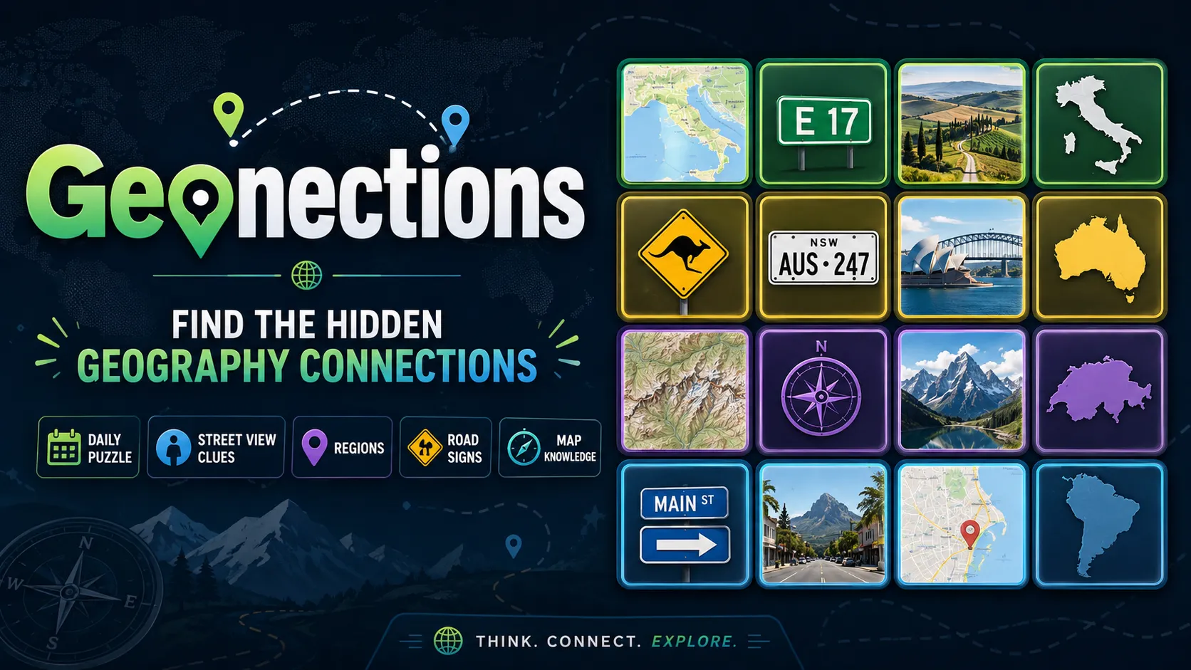
Geonections is a daily connections grid aimed at GeoGuessr-style knowledge. You group clues that share a precise meta: countries, regions, road signs, landscapes, languages, driving side, camera generation, or other Street View fingerprints. It is not GeoConnections, which sorts general geography trivia such as capitals and landmarks without that coverage-meta layer.
It is also not GeoGuessr itself (you do not drop into a live panorama) and not GeoGrid (no 3×3 country fill). Geonections rewards pattern logic: four items must share one exact link, not a vague “looks European.”
Geonections Game Rules
The board mixes geography and Street View-style items. Select the set that shares one hidden category and submit. Correct Geonections groups lock and name the theme. Wrong groups count as mistakes. Some days are gentle; others assume you know coverage quirks. Solve when every group is found. Decoys that almost fit a country or a sign family are intentional.
- Group Geonections clues that share one GeoGuessr-style or map theme.
- Correct categories lock; incorrect submits spend mistakes.
- Links can include signs, driving side, camera gen, language, or regions.
- The puzzle is complete when all hidden groups are found.
How to play Geonections?
Press Play on this listing to open official Geonections. Scan the full board for coverage meta before you treat every tile as a simple country fact.
- Read every Geonections clue once without submitting.
- Pick the foursome whose shared link you can state precisely.
- Submit; lock it if correct, or pull the decoy out if you miss.
- Use remaining tiles and elimination to finish the harder categories.
Geonections Strategy & Tips
Start with the cleanest regional or country set if it is truly exact. Then switch brains to GeoGuessr: bollards, chevrons, vegetation, camera quality, and driving side. Do not submit a loose “all maps” group. After a lock, leftover clues often snap into the intended meta. If the board feels advanced, easier weekday puzzles are a better on-ramp than forcing a purple-style guess.
- Require a precise Geonections theme, not a vague geography overlap.
- Sort leftover clues by Street View meta after the obvious group locks.
- Treat near-fit tiles as members of a different category.
FAQ about Geonections
What is Geonections?
Geonections is a daily connections game that groups GeoGuessr-style geography clues—such as signs, coverage meta, and regions—into hidden categories.
How do you play Geonections?
Open official Geonections, select items that share one exact theme, submit the group, and continue until every category is solved.
How is Geonections different from GeoConnections?
Geonections is built around Street View and GeoGuessr patterns. GeoConnections is a broader geography category puzzle about countries, cities, flags, and landmarks.
Where can I play Geonections?
Use Play on this AllDle Games page to open official Geonections in a new tab.